Parks & outdoors
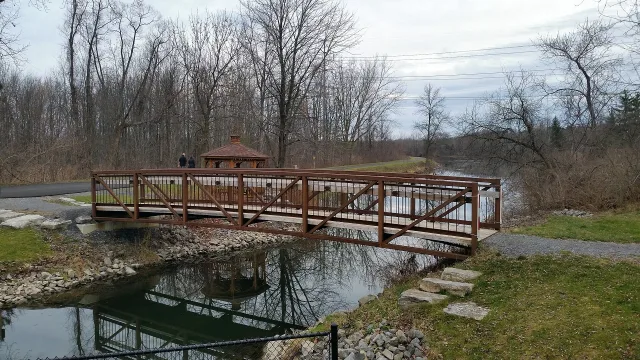
Erie Canalway Trail — Syracuse section
The Erie Canalway Trail connects Syracuse with a much wider cycling and walking network. Official Empire State Trail descri…
Syracuse city guide
Plan a practical Syracuse bike journey with city infrastructure information and the Empire State Trail route description.
By Syrguide editorial · Updated 2026-11-12The Erie Canalway Trail connects Syracuse with a much wider cycling and walking network. Official Empire State Trail descri…
A short trip across Syracuse and a longer canal-trail outing need different plans. The city publishes bicycle infrastructure information, while the Empire State Trail describes its Syracuse–DeWitt segment in detail. Start with the destination, riding experience and time available, then inspect the route rather than assuming a line on a general map is a protected bike path. Think about how the last streets connect to the place you actually want to reach.
The Syracuse–DeWitt segment includes protected paths and on-street sections, with road crossings that require attention. Use the official description and directional resources to identify those transitions before setting out. City infrastructure information distinguishes shared-road markings from other facilities and links project information. Current works can change an approach, so check the route again close to the ride instead of assuming that a planned improvement is already complete and open to use.
Identify somewhere appropriate to secure the bicycle, carry a lock and choose a return that fits the remaining daylight and weather. If using shared micromobility, follow the city-linked operator's current riding and parking rules and confirm that the service area covers the journey. Keep the route available offline when practical, bring what you need for a manageable outing and avoid adding a long unfamiliar section simply because the outward ride felt easy.