Good to know
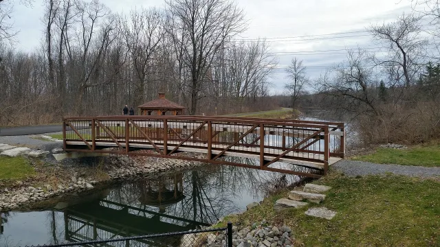
The Erie Canalway Trail connects Syracuse with a much wider cycling and walking network. Official Empire State Trail descriptions explain the local sections west toward Camillus and east toward DeWitt, including where off-road paths change to streets, sidewalks or roadside bicycle routes. The intersection of West Genesee and Wallace Streets is a useful downtown reference point, not a staffed trail office. Visitors can choose a short local outing or continue toward surrounding communities using official cue sheets and maps. Pay attention to the surface and road-crossing information for the chosen section. This profile covers the Syracuse connection and does not represent the entire statewide trail as one city park.
Linear multi-municipality route. Address is an officially described downtown reference intersection, not a mailing address; ZIP and direct phone unassigned.
Weekly hours are intentionally unassigned; confirm the relevant visit, service or event schedule with the official source.