Parks & outdoors · Syracuse

Onondaga Creekwalk

No reviews yet

Good to know

The Onondaga Creekwalk is a paved route through Syracuse linking Southside green spaces, downtown Armory Square, Franklin Square, the Inner Harbor and Onondaga Lake. It is used by pedestrians, cyclists and skaters, with several road crossings along the way. The city’s official page identifies multiple parking and access points rather than a single visitor entrance. Choose the section you want to explore and use its access information to plan the trip. Flooding can affect sections around the Wallace Street trailhead and Franklin Square, so current notices matter. A proposed southern extension is a separate project and should not be presented as already completed trail.

Linear route: published locator is Along Onondaga Creekwalk; no single street-number/ZIP address is asserted.

Weekly hours are intentionally unassigned; confirm the relevant visit, service or event schedule with the official source.

Location & hours

Along Onondaga Creekwalk, Syracuse, NY
Open in Google Maps ↗

Check the official source or contact the place for the current schedule.

Photos

Share a photo

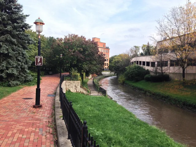
Onondaga Creekwalk and buildings in Franklin Square

Onondaga Creekwalk in Syracuse’s Franklin Square neighborhood, photographed in October 2013.

Photo: Kai Brinker · CC BY-SA 2.0 · Source
WebP resizing, color not materially altered
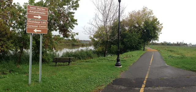
Onondaga Creekwalk near the Inner Harbor in Syracuse

Onondaga Creekwalk near Syracuse’s Inner Harbor in the Lakefront neighborhood, photographed in October 2013.

Photo: Kai Brinker · CC BY-SA 2.0 · Source
WebP resizing, color not materially altered

Community reviews

Write a review

No reviews yet. Share your experience to help the next person.

Questions & answers

Ask about this place

Have a practical question? Start a conversation and help the next person plan.